Coto 47 Airport
| Coto 47 Airport | |||||||||||
|---|---|---|---|---|---|---|---|---|---|---|---|
| IATA: OTR – ICAO: MRCC | |||||||||||
| Summary | |||||||||||
| Airport type | Public | ||||||||||
| Serves | Ciudad Neily | ||||||||||
| Location | Coto 47 | ||||||||||
| Elevation AMSL | 26 ft / 8 m | ||||||||||
| Coordinates | 8°36′05″N 82°58′08″W / 8.60139°N 82.96889°WCoordinates: 8°36′05″N 82°58′08″W / 8.60139°N 82.96889°W | ||||||||||
| Map | |||||||||||
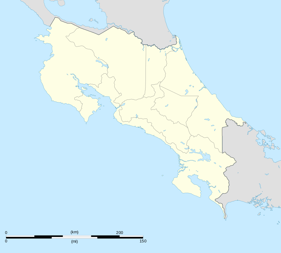 OTR Location in Costa Rica | |||||||||||
| Runways | |||||||||||
| |||||||||||
Coto 47 Airport (IATA: OTR, ICAO: MRCC) is an airport that serves Coto 47, Costa Rica. It is in Puntarenas province 16 kilometres (9.9 mi) from the Panama border.
The Coto 47 non-directional beacon (Ident: COT) is located on the field.[4]
The airport is accessible to locations such as Pavones, Sabalos, Neily and Playa Zancudo. A scheduled bus, the Finca 40, leaves for Neily daily, and there are also many taxis available for transport to other locations.[5]
Scheduled Service
| Airlines | Destinations |
|---|---|
| Sansa Airlines | Golfito, San Jose |
See also
 Costa Rica portal
 Aviation portal
- Transport in Costa Rica
- List of airports in Costa Rica
References
- ↑ AIP - Part 3 Aerodromes Archived September 27, 2011, at the Wayback Machine.
- ↑ Airport information for OTR at Great Circle Mapper.
- ↑ Google Maps - Coto 47
- ↑ COT NDB
- ↑ Govisitcostarica.com
External links
This article is issued from Wikipedia - version of the 12/4/2016. The text is available under the Creative Commons Attribution/Share Alike but additional terms may apply for the media files.