Cufar Airport
| Cufar Airport | |||||||||||
|---|---|---|---|---|---|---|---|---|---|---|---|
| IATA: none – ICAO: GGCF | |||||||||||
| Summary | |||||||||||
| Airport type | Public | ||||||||||
| Serves | Cufar | ||||||||||
| Elevation AMSL | 65 ft / 20 m | ||||||||||
| Coordinates | 11°17′20″N 15°10′50″W / 11.28889°N 15.18056°WCoordinates: 11°17′20″N 15°10′50″W / 11.28889°N 15.18056°W | ||||||||||
| Map | |||||||||||
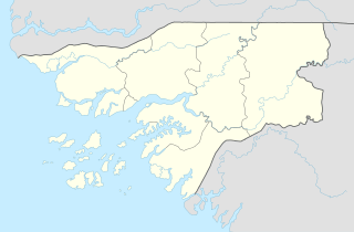 Cufar | |||||||||||
| Runways | |||||||||||
| |||||||||||
Cufar Airport (ICAO: GGCF) is an airport serving Cufar, a village in the Tombali Region of Guinea-Bissau.
See also
References
- ↑ Google Maps - Cufar
- ↑ Airport information for GGCF at Great Circle Mapper.
- Google Earth
External links
This article is issued from Wikipedia - version of the 11/8/2016. The text is available under the Creative Commons Attribution/Share Alike but additional terms may apply for the media files.