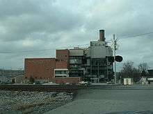
William C. Dale Power Station
| William C. Dale Power Station | |
|---|---|
 Dale Power Station | |
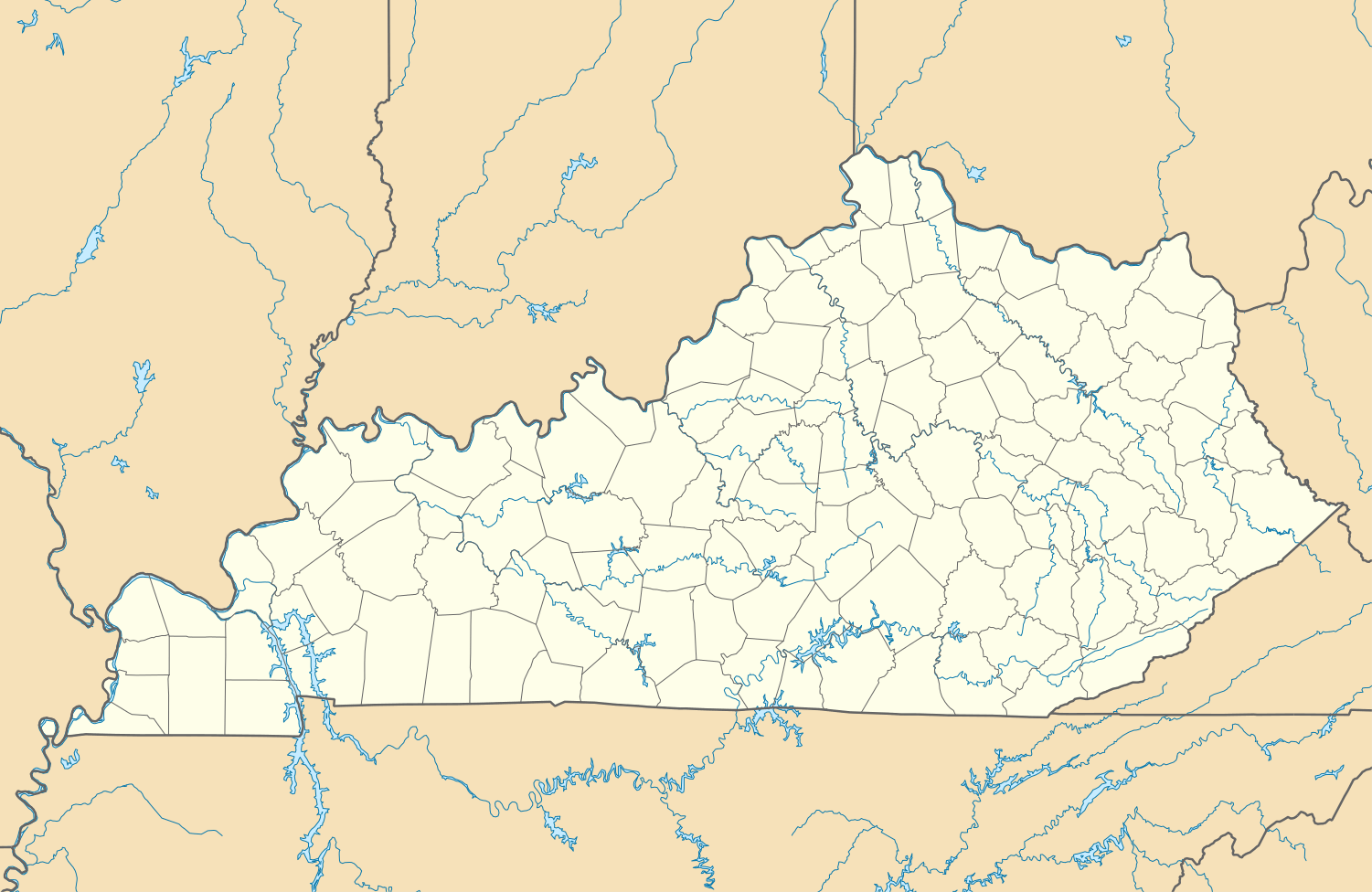 Location of William C. Dale Power Station in Kentucky | |
| Country | United States |
| Location | Clark County, near Winchester, Kentucky |
| Coordinates | 37°53′N 84°16′W / 37.88°N 84.26°WCoordinates: 37°53′N 84°16′W / 37.88°N 84.26°W |
| Commission date | 1954 |
| Owner(s) | East Kentucky Power Cooperative |
| Thermal power station | |
| Primary fuel | Bituminous coal |
| Cooling source | Kentucky River |
| Power generation | |
| Units operational | 4 |
| Nameplate capacity | 195 MW |
The William C. Dale Power Station is a coal-fired power station owned and operated by East Kentucky Cooperative near Winchester, Kentucky. It is located about 20 miles southeast of Lexington, Kentucky.
Emissions Data
- 2006 CO2 Emissions: 1,186,544 tons
- 2006 SO2 Emissions:
- 2006 SO2 Emissions per MWh:
- 2006 NOx Emissions:
- 2005 Mercury Emissions:
See also
References
External links
This article is issued from Wikipedia - version of the 3/22/2015. The text is available under the Creative Commons Attribution/Share Alike but additional terms may apply for the media files.