Dammapeta
| Dammapeta దమ్మపేట | |
|---|---|
| Mandal | |
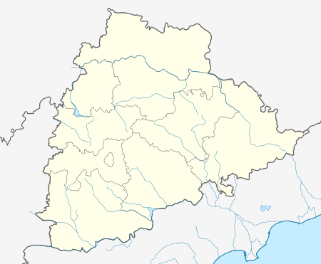 Dammapeta  Dammapeta Location in Telangana, India | |
| Coordinates: 17°16′00″N 81°01′00″E / 17.2667°N 81.0167°ECoordinates: 17°16′00″N 81°01′00″E / 17.2667°N 81.0167°E | |
| Country |
|
| State | Telangana |
| District | Khammam |
| Elevation | 267 m (876 ft) |
| Languages | |
| • Official | Telugu |
| Time zone | IST (UTC+5:30) |
| Vehicle registration | TS |
| Nearest city | Khammam |
| Lok Sabha constituency | Khammam |
| Vidhan Sabha constituency | Aswaraopeta |
| Climate | hot (Köppen) |
| Website |
telangana |
Dammapeta is a Mandal in Khammam district, Telangana.
Geography
Dammapeta is located at 17°16′00″N 81°01′00″E / 17.2667°N 81.0167°E.[1] It has an average elevation of 206 metres (679 ft).
References
This article is issued from Wikipedia - version of the 10/4/2016. The text is available under the Creative Commons Attribution/Share Alike but additional terms may apply for the media files.