Dampremy
| Dampremy | ||
|---|---|---|
| Former municipality of Belgium | ||
| ||
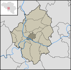 Location in the municipality of Charleroi | ||
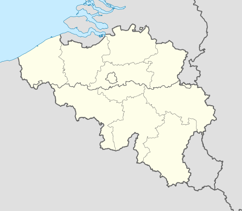 Dampremy Location in Belgium | ||
| Coordinates: 50°24′N 4°26′E / 50.400°N 4.433°ECoordinates: 50°24′N 4°26′E / 50.400°N 4.433°E | ||
| Country |
| |
| Region |
| |
| Community |
| |
| Province |
| |
| Municipality |
| |
| Area | ||
| • Total | 1.07 sq mi (2.77 km2) | |
| Population (2001) | ||
| • Total | 8,566 | |
| Time zone | CET (UTC+1) | |
| • Summer (DST) | CEST (UTC+2) | |
| Postal code | 6020 | |
| Area code(s) | 071 | |
Dampremy is a section of the Belgian town of Charleroi within the Walloon region in the Province of Hainaut. It was a municipality of its own before the merger of the municipalities in 1977.
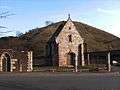 Saint-Ghislain chapel.
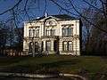 Former town hall.
| Wikimedia Commons has media related to Dampremy. |
This article is issued from Wikipedia - version of the 11/25/2015. The text is available under the Creative Commons Attribution/Share Alike but additional terms may apply for the media files.