Damvant
| Damvant | ||
|---|---|---|
| Former municipality of Switzerland | ||
| ||
 Damvant | ||
|
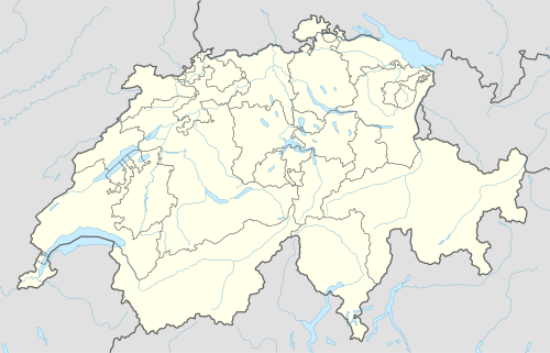
Location of Damvant 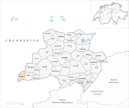 | ||
| Coordinates: 47°22′N 06°54′E / 47.367°N 6.900°ECoordinates: 47°22′N 06°54′E / 47.367°N 6.900°E | ||
| Country | Switzerland | |
| Canton | Jura | |
| District | Porrentruy | |
| Area | ||
| • Total | 5.05 km2 (1.95 sq mi) | |
| Elevation | 609 m (1,998 ft) | |
| Population | ||
| • Total | 129 | |
| • Density | 26/km2 (66/sq mi) | |
| Postal code | 2914 | |
| SFOS number | 6788 | |
| Surrounded by | Grandfontaine, Réclère, Vaufrey(F), Montjoie-le-Château(F), Villars-lès-Blamont(F) and Dannemarie(F) | |
| Website |
SFSO statistics | |

Damvant is a village and former municipality in the district of Porrentruy in the canton of Jura in Switzerland. Since 1 January 2009 it has been part of the new municipality Haute-Ajoie.
References
External links
- Damvant in German, French and Italian in the online Historical Dictionary of Switzerland.
| Wikimedia Commons has media related to Damvant. |
This article is issued from Wikipedia - version of the 12/17/2013. The text is available under the Creative Commons Attribution/Share Alike but additional terms may apply for the media files.