Dapode
| Dapode | |
|---|---|
| village | |
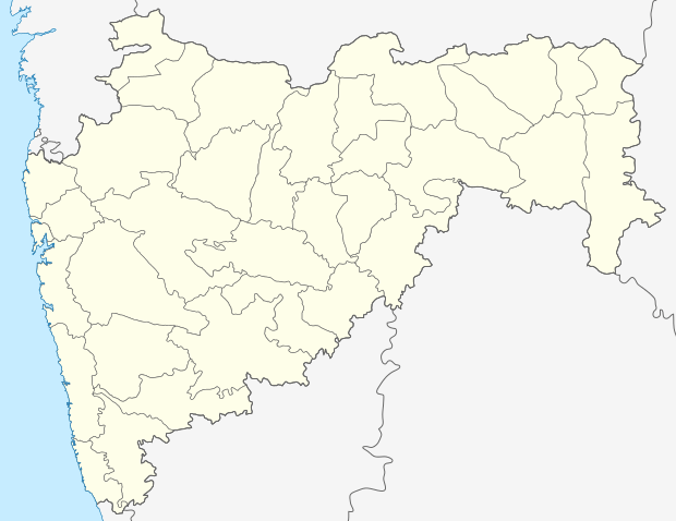 Dapode  Dapode Location in Maharashtra, India | |
| Coordinates: 19°15′23″N 73°02′47″E / 19.2564022°N 73.0464309°ECoordinates: 19°15′23″N 73°02′47″E / 19.2564022°N 73.0464309°E | |
| Country | India |
| State | Maharashtra |
| District | Thane |
| Taluka | Bhiwandi |
| Elevation | 14 m (46 ft) |
| Population (2011) | |
| • Total | 3,026 |
| Time zone | IST (UTC+5:30) |
| 2011 census code | 552666 |
Dapode is a village in the Thane district of Maharashtra, India. It is located in the Bhiwandi taluka.[1]
Demographics
According to the 2011 census of India, Dapode has 749 households. The effective literacy rate (i.e. the literacy rate of population excluding children aged 6 and below) is 88.08%.[2]
| Total | Male | Female | |
|---|---|---|---|
| Population | 3026 | 1785 | 1241 |
| Children aged below 6 years | 401 | 212 | 189 |
| Scheduled caste | 139 | 81 | 58 |
| Scheduled tribe | 27 | 13 | 14 |
| Literates | 2312 | 1452 | 860 |
| Workers (all) | 1371 | 1186 | 185 |
| Main workers (total) | 1278 | 1113 | 165 |
| Main workers: Cultivators | 103 | 77 | 26 |
| Main workers: Agricultural labourers | 60 | 9 | 51 |
| Main workers: Household industry workers | 23 | 17 | 6 |
| Main workers: Other | 1092 | 1010 | 82 |
| Marginal workers (total) | 93 | 73 | 20 |
| Marginal workers: Cultivators | 16 | 15 | 1 |
| Marginal workers: Agricultural labourers | 4 | 0 | 4 |
| Marginal workers: Household industry workers | 7 | 3 | 4 |
| Marginal workers: Others | 66 | 55 | 11 |
| Non-workers | 1655 | 599 | 1056 |
References
- ↑ "Maharashtra villages" (PDF). Land Records Information Systems Division, NIC. Retrieved 2015-08-17.
- 1 2 "District census data". 2011 Census of India. Directorate of Census Operations. Retrieved 2015-08-17.
This article is issued from Wikipedia - version of the 8/24/2016. The text is available under the Creative Commons Attribution/Share Alike but additional terms may apply for the media files.