Dennington
This article is about the village in Suffolk, England. For the town in Victoria, Australia, see Dennington, Victoria.
| Dennington | |
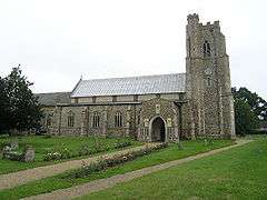 Church of St Mary, Dennington |
|
 Dennington |
|
| Population | 578 (2011)[1] |
|---|---|
| OS grid reference | TM283634 |
| District | Suffolk Coastal |
| Shire county | Suffolk |
| Region | East |
| Country | England |
| Sovereign state | United Kingdom |
| Post town | WOODBRIDGE |
| Postcode district | IP13 |
| Dialling code | 01728 |
| EU Parliament | East of England |
| UK Parliament | Central Suffolk and North Ipswich |
Coordinates: 52°15′16″N 1°20′32″E / 52.254558°N 1.342157°E
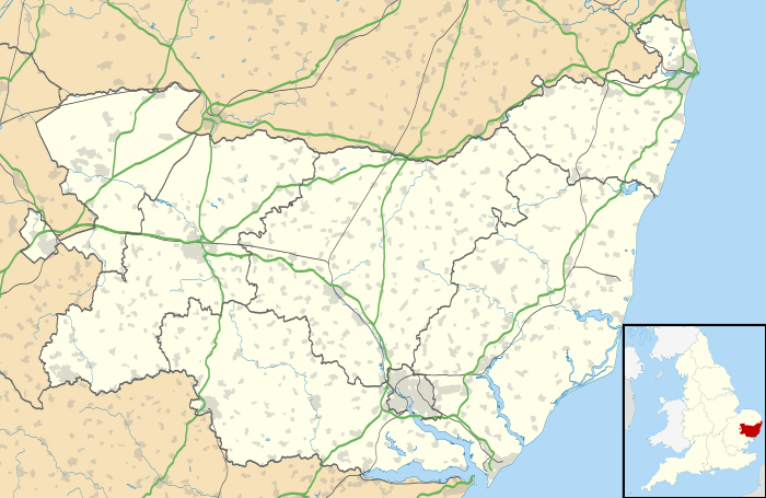
Dennington is a village and civil parish in the English county of Suffolk. It is 2 miles (3.2 km) north of Framlingham and 15 miles (24 km) north-east of Ipswich in the east of the county. It lies along the A1120 road around 8 miles (13 km) west of the road's junction with the main A12 road in Yoxford.
At the 2011 census Dennington had a population of 578.[1] The parish church is dedicated to St Mary.[2] The village has a primary school, village hall and pub.[3][4]
Dennington is served by occasional bus services. The nearest railway station is at Darsham with an hourly service to either Ipswich or Lowestoft.[5]
References
- 1 2 "Parish population 2011". Retrieved 14 September 2015.
- ↑ "Dennington Church". Retrieved January 31, 2013.
- ↑ "Dennington School". Retrieved January 31, 2013.
- ↑ "Village Website". Retrieved January 31, 2013.
- ↑ "Darsham Train Timetable". Retrieved January 31, 2013.
| Wikimedia Commons has media related to Dennington. |
This article is issued from Wikipedia - version of the 8/26/2016. The text is available under the Creative Commons Attribution/Share Alike but additional terms may apply for the media files.