Deori, Gondia
See Deori (disambiguation) for disambiguation
| Deori देवरी | |
|---|---|
| Town | |
| Nickname(s): transport ciity | |
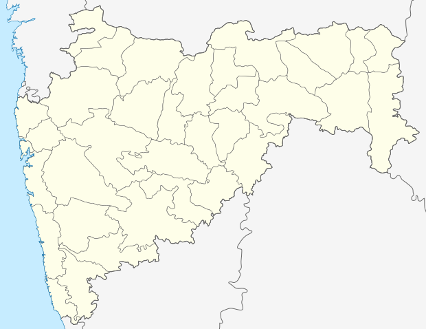 Deori Location in Maharashtra, India | |
| Coordinates: 21°04′N 80°22′E / 21.067°N 80.367°ECoordinates: 21°04′N 80°22′E / 21.067°N 80.367°E | |
| Country |
|
| State | Maharashtra |
| District | Gondia |
| Elevation | 340 m (1,120 ft) |
| Population (2011) | |
| • Total | 14,580 |
| Languages | |
| • Official | Marathi,Hindi |
| Time zone | IST (UTC+5:30) |
| Vehicle registration | MH-35 |
Deori (Marathi: देवरी) is a Town and a municipal council in Gondia district in the state of Maharashtra, India.
Geography
Deori is located at 21°04′N 80°22′E / 21.067°N 80.367°E.[1] It has an average elevation of 340 metres (1118 feet).
It is located at the Maharashtra-Chhattisgarh border on Hajira-Kolkatta National Highway 6.It is about 60 km from Gondia and 80 km from Bhandara City.
References
 |
Amgaon, Gondia | | ||
| Sadak Arjuni | |
Rajnandgaon(Chhattisgarh) | ||
| ||||
| | ||||
| Jethbhawda |
This article is issued from Wikipedia - version of the 12/23/2015. The text is available under the Creative Commons Attribution/Share Alike but additional terms may apply for the media files.