Derrinturn
| Derrinturn Doire an tSoirn | |
|---|---|
| Town | |
 Derrinturn Location in Ireland | |
| Coordinates: 53°20′23″N 6°56′24″W / 53.33959°N 6.94010°WCoordinates: 53°20′23″N 6°56′24″W / 53.33959°N 6.94010°W | |
| Country | Ireland |
| Province | Leinster |
| County | County Kildare |
| Area | |
| • Town | 2 km2 (0.8 sq mi) |
| Elevation | 85 m (279 ft) |
| Population (2011) | |
| • Urban | 1,541 |
| Time zone | WET (UTC+0) |
| • Summer (DST) | IST (WEST) (UTC-1) |
| Irish Grid Reference | N759266 |
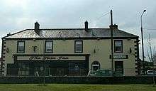
The Turn Inn, Derrinturn
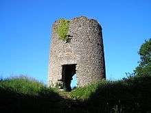
The Windmill Derrinturn
| Historical population | ||
|---|---|---|
| Year | Pop. | ±% |
| 1961 | 183 | — |
| 1966 | 176 | −3.8% |
| 1981 | 395 | +124.4% |
| 1986 | 528 | +33.7% |
| 1991 | 553 | +4.7% |
| 1996 | 544 | −1.6% |
| 2002 | 799 | +46.9% |
| 2006 | 1,138 | +42.4% |
| [1] | ||
Derrinturn (Irish: Doire an tSoirn) is a village in County Kildare, Ireland. It is located about 60 km (37 mi) from Dublin.
The main road through Derrinturn is the R403 regional road.
The village had a population of 1,541 in 2011.[2]
See also
References
External links
| Wikimedia Commons has media related to Derrinturn. |
Places in County Kildare | ||
|---|---|---|
| Towns | 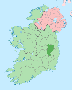 | |
| Villages and Townlands |
| |
| Landforms | ||
| Topics |
| |
This article is issued from Wikipedia - version of the 11/25/2016. The text is available under the Creative Commons Attribution/Share Alike but additional terms may apply for the media files.