Dhannur
| Dhannur ಧನ್ನೂರು Dhannooru | |
|---|---|
| Village | |
 Dhannur  Dhannur | |
| Coordinates: 16°11′17.73″N 76°5′38.32″E / 16.1882583°N 76.0939778°ECoordinates: 16°11′17.73″N 76°5′38.32″E / 16.1882583°N 76.0939778°E | |
| Country |
|
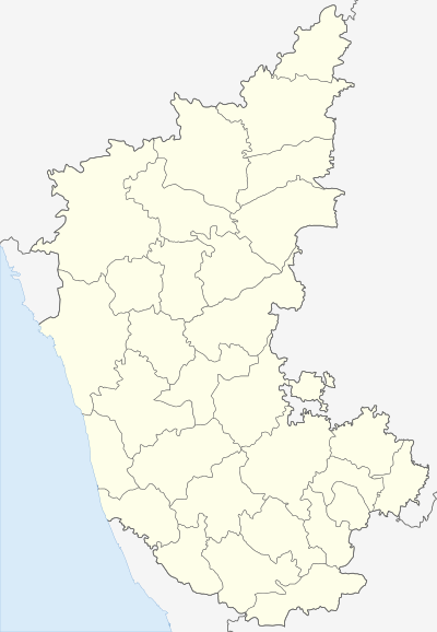
| State | Karnataka |
| District | Bagalkot district |
| Taluk | Hungund |
| Government | |
| • Type | Panchayat raj |
| • Body | Village Panchayat |
| Population (2001) | |
| • Total | 2,732 |
| Languages | |
| • Official | Kannada |
| Time zone | IST (UTC+5:30) |
| PIN | 587 118 |
| ISO 3166 code | IN-KA |
| Vehicle registration | KA XX |
| Website |
karnataka |
Dhannur also spelled as Dhannooru (Kannada: ಧನ್ನೂರು ) is a village in the Hungund taluk of Bagalkot district in the Indian state of Karnataka.
Dhannur lies between Hungund and Muddebihal.
Demographics
As of 2001 India census, Dhannur had a population of 2,732 with 1,426 males and 1,306 females and 399 Households.[1]
See also
References
This article is issued from Wikipedia - version of the 10/16/2016. The text is available under the Creative Commons Attribution/Share Alike but additional terms may apply for the media files.