Dilham
| Dilham | |
 Dilham St Nicholas |
|
 Dilham |
|
| Area | 6.55 km2 (2.53 sq mi) |
|---|---|
| Population | 319 (2011)[1] |
| – density | 49/km2 (130/sq mi) |
| OS grid reference | TG332245 |
| Civil parish | Dilham |
| District | North Norfolk District Council |
| Shire county | Norfolk |
| Region | East |
| Country | England |
| Sovereign state | United Kingdom |
| Post town | NORTH WALSHAM |
| Postcode district | NR28 |
| Dialling code | 01692 |
| Police | Norfolk |
| Fire | Norfolk |
| Ambulance | East of England |
| EU Parliament | East of England |
| UK Parliament | North Norfolk |
Coordinates: 52°46′05″N 1°27′22″E / 52.76815°N 1.45618°E
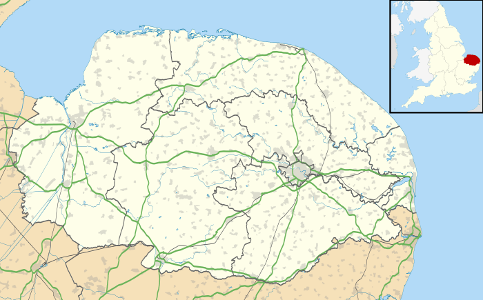
Dilham is a village and civil parish in The Broads of Norfolk, England. At the 2001 census it covered an area of 6.55 km2 (2.53 sq mi) with a population of 301 in 128 homes,[2] increasing to a population of 319 at the 2011 Census. It is on the River Ant just off the A149 road, near Stalham. The name comes from the extensive fields of dill, a herb which was grown commercially here.
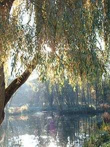
It is the limit of Broads navigation for larger boats, but small boats, and especially non-powered boats, can travel on the North Walsham & Dilham Canal until Honing.
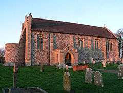
Its church, St Nicholas, is one of 124 existing round-tower churches in Norfolk. Attached to the nearby Dilham Hall is a fifteenth-century tower, all that remains of Dilham Castle, a fifteenth-century fortified house.
Notes
- ↑ "Parish population 2011". Retrieved 1 September 2015.
- ↑ Office for National Statistics & Norfolk County Council, 2001. "Census population and household counts for unparished urban areas and all parishes."
External links
| Wikimedia Commons has media related to Dilham. |