Dorintosh, Saskatchewan
| Village of Dorintosh | |
|---|---|
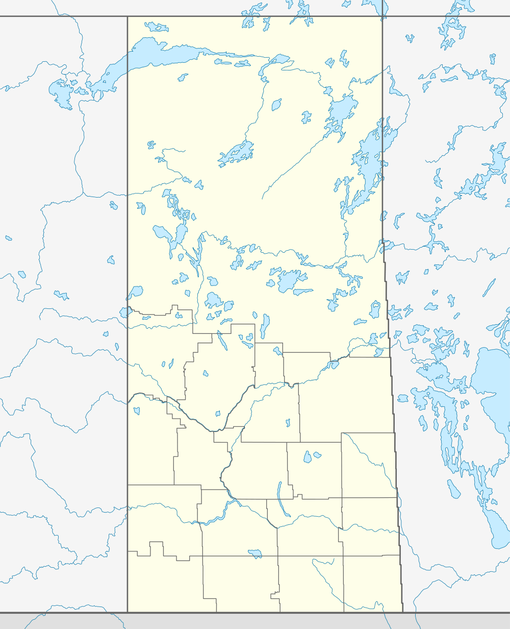  Location of Dorintosh in Saskatchewan | |
| Coordinates: 54°21′07″N 108°37′34″W / 54.352°N 108.626°W | |
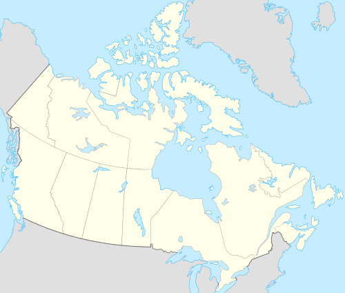
| Country | Canada |
| Province | Saskatchewan |
| Region | Saskatchewan |
| Census division | 17 |
| Rural Municipality | Meadow Lake |
| Post office Founded | December 1, 1940 |
| Incorporated (Village) | N/A |
| Incorporated (Town) | N/A |
| Government | |
| • Mayor | John Osborne |
| • Administrator | Pam Dallyn |
| • Governing body | Dorintosh Village Council |
| Area | |
| • Total | 143.7 km2 (55.5 sq mi) |
| Population (2006) | |
| • Total | 127 |
| • Density | 0.88/km2 (2.3/sq mi) |
| Time zone | CST |
| Postal code | S0M 0T0 |
| Area code(s) | 306 |
| Highways | Highway 4 |
| Waterways |
Waterthen Lake Greig Lake |
| [1][2][3][4] | |
Dorintosh is a village in the Canadian province of Saskatchewan.
Demographics
| Canada census – Dorintosh, Saskatchewan community profile | |||
|---|---|---|---|
| 2006 | 2001 | ||
| Population: | 127 (1.6% from 2001) | 125 (- 6.0% from 1996) | |
| Land area: | 0.88 km2 (0.34 sq mi) | 0.88 km2 (0.34 sq mi) | |
| Population density: | 143.7/km2 (372/sq mi) | 141.4/km2 (366/sq mi) | |
| Median age: | 43.5 (M: 45.2, F: 43.0) | 45.3 (M: 46.8, F: 44.5) | |
| Total private dwellings: | 70 | 63 | |
| Median household income: | $N/A | $N/A | |
| References: 2006[5] 2001[6] | |||
See also
 |
Greig Lake | | ||
| Goodsoil | |
|||
| ||||
| | ||||
| Rapid View | Meadow Lake |
Footnotes
- ↑ National Archives, Archivia Net, Post Offices and Postmasters
- ↑ Government of Saskatchewan, MRD Home, Municipal Directory System, archived from the original on November 21, 2008
- ↑ Canadian Textiles Institute. (2005), CTI Determine your provincial constituency
- ↑ Commissioner of Canada Elections, Chief Electoral Officer of Canada (2005), Elections Canada On-line
- ↑ "2006 Community Profiles". Canada 2006 Census. Statistics Canada. March 30, 2011. Retrieved 2011-03-11.
- ↑ "2001 Community Profiles". Canada 2001 Census. Statistics Canada. February 17, 2012. Retrieved 2011-03-11.
| Subdivisions | |
|---|---|
| Communities | |
| Cities | |
| Topics |
|
| |
Coordinates: 54°21′07″N 108°37′34″W / 54.352°N 108.626°W
This article is issued from Wikipedia - version of the 9/10/2016. The text is available under the Creative Commons Attribution/Share Alike but additional terms may apply for the media files.