Dornala
| Dornala డోర్నాల | |
|---|---|
| Village | |
|
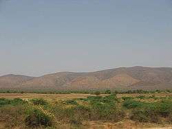
Nallamalla Hills near Dornala | |
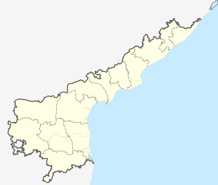 Dornala  Dornala Location in Andhra Pradesh, India | |
| Coordinates: 15°54′00″N 79°06′00″E / 15.9000°N 79.1000°ECoordinates: 15°54′00″N 79°06′00″E / 15.9000°N 79.1000°E | |
| Country | India |
| State | Andhra Pradesh |
| District | Prakasam |
| Mandal | Dornala |
| Elevation | 208 m (682 ft) |
| Languages | |
| • Official | Telugu |
| Time zone | IST (UTC+5:30) |
| Vehicle registration | AP |
Dornala is a village in Prakasam district of the Indian state of Andhra Pradesh. It is the mandal headquarters of Dornala mandal in Markapur revenue division.[1]
Geography
Doranala is located at 15°54′00″N 79°06′00″E / 15.9000°N 79.1000°E.[2] It has an average elevation of 208 meters (685 feet).
References
- ↑ "Prakasam District Mandals" (PDF). Census of India. pp. 118, 171. Retrieved 19 June 2015.
- ↑ "Maps, Weather, and Airports for Doranala, India". fallingrain.com.
This article is issued from Wikipedia - version of the 9/16/2016. The text is available under the Creative Commons Attribution/Share Alike but additional terms may apply for the media files.