Edakadathy
| Edakadathy ഇടകടത്തി இடகடத்தி | |
|---|---|
| village | |
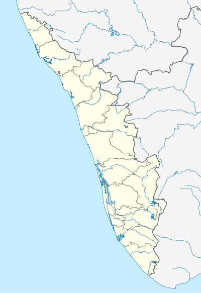 Edakadathy  Edakadathy Location in Kerala, India | |
| Coordinates: 9°24′49.43″N 76°57′40.41″E / 9.4137306°N 76.9612250°ECoordinates: 9°24′49.43″N 76°57′40.41″E / 9.4137306°N 76.9612250°E | |
| Country |
|
| State | Kerala |
| District | Kottayam |
| Government | |
| • Type | Panchayath |
| • Body | Erumely grama panchayath |
| Elevation | 102 m (335 ft) |
| Languages | |
| • Official | Malayalam, English |
| Time zone | IST (UTC+5:30) |
| PIN | 686510 |
| Area code(s) | 04828 |
| Vehicle registration | KL-34, KL-62 |
| Coastline | 0 kilometres (0 mi) |
| Nearest city | Erumely |
| Lok Sabha constituency | Pathanamthitta |
| Climate | Tropical monsoon (Köppen) |
| Avg. summer temperature | 35 °C (95 °F) |
| Avg. winter temperature | 20 °C (68 °F) |
Edakadathy (Malayalam: ഇടകടത്തി) is a village located near Mukkoottuthara in Erumely grama panchayath of Kottayam district, Kerala state. The place is situated near the border of Kottayam and Pathanamthitta districts, but officially recorded as a part of Kottayam district.[1]
References
- ↑ "Edakadathy village". www.onefivenine.com.
This article is issued from Wikipedia - version of the 12/3/2016. The text is available under the Creative Commons Attribution/Share Alike but additional terms may apply for the media files.