El Naranjo Airport
| El Naranjo Airport | |||||||||||
|---|---|---|---|---|---|---|---|---|---|---|---|
| IATA: ENJ – ICAO: none | |||||||||||
| Summary | |||||||||||
| Airport type | Public | ||||||||||
| Serves | Masagua | ||||||||||
| Elevation AMSL | 140 ft / 43 m | ||||||||||
| Coordinates | 14°06′25″N 90°49′03″W / 14.10694°N 90.81750°WCoordinates: 14°06′25″N 90°49′03″W / 14.10694°N 90.81750°W | ||||||||||
| Map | |||||||||||
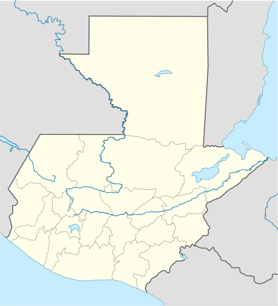 ENJ Location of the airport in Guatemala | |||||||||||
| Runways | |||||||||||
| |||||||||||
El Naranjo Airport (IATA: ENJ) is an airstrip near El Naranjo, a settlement in the diffuse agricultural community between Masagua, Obero, and Torremolinos in Escuintla Department, Guatemala.
See also
References
- ↑ Google Maps - El Naranjo
- ↑ Airport information for ENJ at Great Circle Mapper.
- Google Earth
This article is issued from Wikipedia - version of the 7/18/2016. The text is available under the Creative Commons Attribution/Share Alike but additional terms may apply for the media files.