Eldersfield
| Eldersfield | |
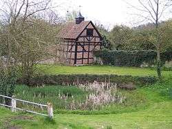 Village pond |
|
 Eldersfield |
|
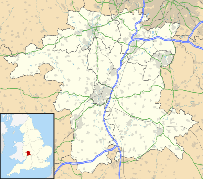
| District | Malvern Hills |
|---|---|
| Shire county | Worcestershire |
| Region | West Midlands |
| Country | England |
| Sovereign state | United Kingdom |
| Post town | Gloucester |
| Postcode district | GL19 |
| Police | West Mercia |
| Fire | Hereford and Worcester |
| Ambulance | West Midlands |
| EU Parliament | West Midlands |
| UK Parliament | West Worcestershire |
|
|
Coordinates: 51°58′43″N 2°17′31″W / 51.978635°N 2.291944°W
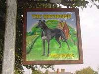
The sign that hangs in front of the Greyhound pub by local artist Kate Sanger-Davies
Eldersfield is a village and civil parish in the Malvern Hills district of Worcestershire, England. It stands exactly ten miles east of Ledbury and ten miles north of Gloucester; this fact can be found on a milestone on the side of the B4211 road that runs through Corse Lawn. The parish church is dedicated to St. John the Baptist and is in the Diocese of Worcester.[1] The parish registers survive from 1718, and there are bishops' transcripts for the earlier registers starting in 1561.[2]
References
- ↑ Church of England, Diocese of Worcester. "St. John the Baptist, Eldersfield".
- ↑ Good, William. "Eldersfield Registers".
External links
| Wikimedia Commons has media related to Eldersfield. |
- Eldersfield entry in A History of the County of Worcester: volume 4
- Eldersfield Church
- Eldersfield Marsh
- Marsh Court
- The Pigeon House
- Eldersfield entry in John Noake's Guide to Worcestershire (1868)
- Eldersfield 1891 Census Results
This article is issued from Wikipedia - version of the 10/30/2016. The text is available under the Creative Commons Attribution/Share Alike but additional terms may apply for the media files.