Eorodale
| Eorodale | |
| Scottish Gaelic: Eòrodal | |
 Houses adjoining a lane at Eorodale |
|
 Eorodale |
|
| Language | Scottish Gaelic |
|---|---|
| English | |
| OS grid reference | NB536623 |
| Civil parish | Barvas |
| Council area | Na h-Eileanan Siar |
| Lieutenancy area | Western Isles |
| Country | Scotland |
| Sovereign state | United Kingdom |
| Post town | ISLE OF LEWIS |
| Postcode district | HS2 |
| Dialling code | 01851 |
| Police | Scottish |
| Fire | Scottish |
| Ambulance | Scottish |
| EU Parliament | Scotland |
| UK Parliament | Na h-Eileanan an Iar |
| Scottish Parliament | Na h-Eileanan an Iar |
Coordinates: 58°28′48″N 6°13′37″W / 58.480°N 6.227°W
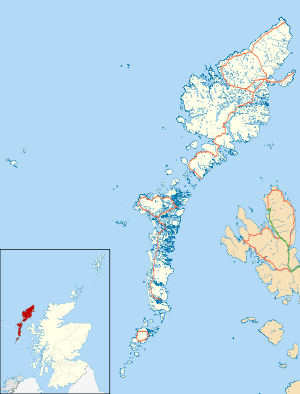
Eorodale (Scottish Gaelic: Eòradal) is a settlement in the community of Ness, on Lewis, in the Outer Hebrides, Scotland. Eorodale is within the parish of Barvas,[1] and is situated on the B8015 between Lionel and Skigersta.[2]
References
- ↑ "Details of Eorodale". Scottish Places. Retrieved 23 December 2014.
- ↑ "B8015". Sabre. Retrieved 23 December 2014.
External links
| Wikimedia Commons has media related to Eorodale. |
- Canmore - Lewis, Dun Eorradail site record
- Canmore - Lewis, Eorodale, Chain Home Low Radar Station site record
This article is issued from Wikipedia - version of the 6/9/2016. The text is available under the Creative Commons Attribution/Share Alike but additional terms may apply for the media files.