Erayamkudy
| Erayamkudy | |
|---|---|
| village | |
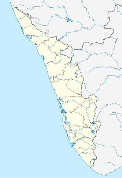 Erayamkudy  Erayamkudy Location in Kerala, India | |
| Coordinates: 10°13′0″N 76°20′0″E / 10.21667°N 76.33333°ECoordinates: 10°13′0″N 76°20′0″E / 10.21667°N 76.33333°E | |
| Country |
|
| State | Kerala |
| District | Thrissur |
| Government | |
| • Body | annamanada panchayath |
| Languages | |
| • Official | Malayalam, English |
| Time zone | IST (UTC+5:30) |
| PIN | 680308 |
| Telephone code | 0480-273 |
| Vehicle registration | KL- |
| Nearest city | angamali,chalakudy |
| Lok Sabha constituency | mugunthapuram |
| Civic agency | annamanada panchayath |
Erayamkudy is a small village in the Thrissur District of the Kerala state of India.[1] This village is in the shore of the Chalakudy River with an ancient temple Erayamkudy Bhagavathi Kshetram. The nearest villages are Mambra, Annamanada, Puliyanam and Elavoor. The village has a population of about 1000. majority people who lives here mainly depend on coconut, rice and nutmeg crop.
References
This article is issued from Wikipedia - version of the 8/24/2016. The text is available under the Creative Commons Attribution/Share Alike but additional terms may apply for the media files.