Ete, Hungary
| Ete | |
|---|---|
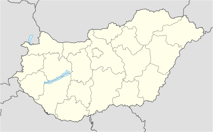 Ete Location of Ete, Hungary | |
| Coordinates: 47°31′54″N 18°04′19″E / 47.53169°N 18.07201°ECoordinates: 47°31′54″N 18°04′19″E / 47.53169°N 18.07201°E | |
| Country |
|
| County | Komárom-Esztergom |
| Area | |
| • Total | 20.62 km2 (7.96 sq mi) |
| Population (2004) | |
| • Total | 598 |
| • Density | 29/km2 (80/sq mi) |
| Time zone | CET (UTC+1) |
| • Summer (DST) | CEST (UTC+2) |
| Postal code | 2947 |
| Area code(s) | 34 |
Ete is a village in Komárom-Esztergom county, Hungary.
External links
This article is issued from Wikipedia - version of the 2/6/2014. The text is available under the Creative Commons Attribution/Share Alike but additional terms may apply for the media files.