Faizabad Cantonment
| Faizabad Cantonment | |
|---|---|
| Municipal City | |
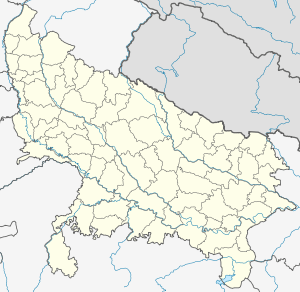 Faizabad Cantonment Location in Uttar Pradesh, India | |
| Coordinates: 26°47′47″N 82°08′01″E / 26.796444°N 82.133665°ECoordinates: 26°47′47″N 82°08′01″E / 26.796444°N 82.133665°E | |
| Country |
|
| State | Uttar Pradesh |
| District | Faizabad |
| Founded by | British Indian Army |
| Government | |
| • Type | Municipal |
| • Body | Indian Army |
| Area | |
| • Total | 30 km2 (10 sq mi) |
| Area rank | 1 |
| Population (2011) | |
| • Total | 78,890 |
| • Rank | 2 |
| • Density | 2,600/km2 (6,800/sq mi) |
| Languages | |
| • Official | Hindi, Awadhi |
| Time zone | IST (UTC+5:30) |
| Vehicle registration | UP 42 GT |
| Website |
cbfaizabad |
Faizabad Cantonment is a cantonment town in Faizabad district in the Indian state of Uttar Pradesh, close to the hill station of Faizabad. Established in the year 1858, today the Faizabad Cantonment is a Class I,2,3,4,5 cantonment.
Demographics
As of 2001 India census,[1] Faizabad Cantonment had a population of 78901. Males constitute 52% of the population and females 48%. Faizabad Cantonment has an average literacy rate of 82%, higher than the national average of 59.5%: male literacy is 86%, and female literacy is 78%. In Faizabad Cantonment, 8% of the population is under 6 years of age.
References
- ↑ "Census of India 2001: Data from the 2001 Census, including cities, villages and towns (Provisional)". Census Commission of India. Archived from the original on 2004-06-16. Retrieved 2008-11-01.
External links
This article is issued from Wikipedia - version of the 9/15/2016. The text is available under the Creative Commons Attribution/Share Alike but additional terms may apply for the media files.