Fervaches
| Fervaches | |
|---|---|
|
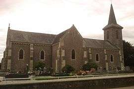
The church of Saint-Pierre-ès-Liens | |
 Fervaches | |
|
Location within Normandy region 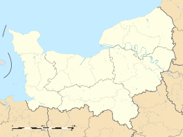 Fervaches | |
| Coordinates: 48°59′44″N 1°05′04″W / 48.9956°N 1.0844°WCoordinates: 48°59′44″N 1°05′04″W / 48.9956°N 1.0844°W | |
| Country | France |
| Region | Normandy |
| Department | Manche |
| Arrondissement | Saint-Lô |
| Canton | Condé-sur-Vire |
| Intercommunality | Saint-Lô Agglo |
| Government | |
| • Mayor (2008–2014) | René Lepas |
| Area1 | 4.89 km2 (1.89 sq mi) |
| Population (2006)2 | 344 |
| • Density | 70/km2 (180/sq mi) |
| Time zone | CET (UTC+1) |
| • Summer (DST) | CEST (UTC+2) |
| INSEE/Postal code | 50180 / 50420 |
| Elevation |
31–119 m (102–390 ft) (avg. 88 m or 289 ft) |
|
1 French Land Register data, which excludes lakes, ponds, glaciers > 1 km² (0.386 sq mi or 247 acres) and river estuaries. 2 Population without double counting: residents of multiple communes (e.g., students and military personnel) only counted once. | |
Fervaches is a former commune in the Manche department in north-western France. On 1 January 2016, it was merged into the new commune of Tessy-Bocage.[1]
See also
References
- ↑ Arrêté préfectoral 28 September 2015 (French)
| Wikimedia Commons has media related to Fervaches. |
This article is issued from Wikipedia - version of the 4/6/2016. The text is available under the Creative Commons Attribution/Share Alike but additional terms may apply for the media files.