Fossil Creek Bridge
| Fossil Creek Bridge | |
|---|---|
| Carries | Fossil Creek Road |
| Crosses | Fossil Creek |
| Locale | near Strawberry, Arizona |
| Characteristics | |
| Design | Filled spandrel arch |
| History | |
| Construction end | 1924 |
|
Fossil Creek Bridge | |
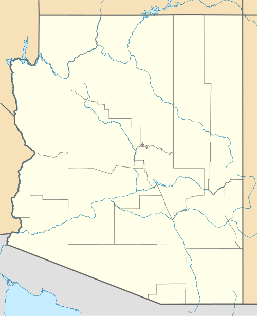  | |
| Nearest city | Strawberry, Arizona |
| Coordinates | 34°23′39″N 111°37′45″W / 34.39417°N 111.62917°WCoordinates: 34°23′39″N 111°37′45″W / 34.39417°N 111.62917°W |
| Area | 0.1 acres (0.040 ha) |
| Built | 1924-25 |
| Architectural style | Filled Spandrel Arch |
| MPS | Vehicular Bridges in Arizona MPS |
| NRHP Reference # | 88001620[1] |
| Added to NRHP | September 30, 1988 |
Fossil Creek Bridge is a closed-spandrel deck arch bridge built in the U.S. state of Arizona during 1924-25 on Cottonwood-Camp Verde-Pine road across Fossil Creek. The road, also known as Fossil Creek Road, crosses the creek at a point where it forms the border between Yavapai and Gila counties, and between the Tonto and the Prescott National Forests.[2] The nearest town is Strawberry in Gila County. It is not far from Camp Verde in Yavapai County.
It has a 70 feet (21 m) span,[3] a 14 feet (4.3 m) arch rise, Luten arch-like reinforcing and bulkheads. It cost $10,037 to build. It was designed by the Arizona Highway Department early in 1924 and completed later that year.[2]:
References
- ↑ National Park Service (2009-03-13). "National Register Information System". National Register of Historic Places. National Park Service.
- 1 2 Clayton B. Fraser (April 1, 1987). "HABS/HAER Inventory: Fossil Creek Bridge" (PDF). National Park Service: 18. Retrieved 2016-05-30. with one photo
- ↑ "Vehicular Bridges in Arizona" (PDF). National Park Service. Retrieved 2016-05-30.
| Topics | |
|---|---|
| Lists by states |
|
| Lists by insular areas | |
| Lists by associated states | |
| Other areas | |
| |
This article is issued from Wikipedia - version of the 11/27/2016. The text is available under the Creative Commons Attribution/Share Alike but additional terms may apply for the media files.