Franz Park, St. Louis
| Franz Park | |
|---|---|
| St. Louis neighborhood | |
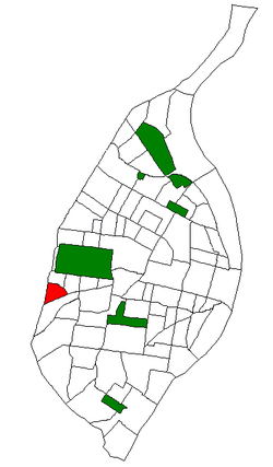 Location of Franz Park within St. Louis | |
| Country | United States |
| State | Missouri |
| City | St. Louis |
| Wards | 24 |
| Area | |
| • Total | 0.42 sq mi (1.1 km2) |
| Population (2010)[1] | |
| • Total | 2,442 |
| • Density | 5,800/sq mi (2,200/km2) |
| ZIP code(s) | Part of 63139 |
| Area code(s) | 314 |
| Website | stlouis-mo.gov |
Franz Park is a neighborhood of St. Louis, Missouri.
Demographics
| Historical population | ||
|---|---|---|
| Year | Pop. | ±% |
| 2000 | 2,621 | — |
| 2010 | 2,442 | −6.8% |
In 2010 Franz Park's racial makeup was 86.2% White, 7.9% Black, 0.5% Native American, 2.1% Asian, 2.5% Two or More Races, and 0.8% Some Other Race. 4.3% of the population was of Hispanic or Latino origin.[2]
| Racial composition | 2010[3] | 2000[4] |
|---|---|---|
| White | 86.2% | 84.7% |
| Black or African American | 7.9% | 11.1% |
| Hispanic or Latino (of any race) | 4.3% | 2.1% |
| Asian | 2.1% | 0.9% |
See also
- Clayton/Tamm, St. Louis, in the east
- Ellendale, St. Louis, neighborhood directly to the south
- Hi-Pointe, St. Louis, in the north
- Dogtown, St. Louis, general area including all 4 neighborhoods
References
- ↑ Census Summary By Neighborhoods
- ↑ http://dynamic.stlouis-mo.gov/census/neigh_comp.cfm
- ↑ "The City of St. Louis Missouri". City of St. Louis.
- ↑ "The City of St. Louis Missouri". City of St. Louis.
External links
- Franz Park neighborhood website
Coordinates: 38°37′21″N 90°18′16″W / 38.6226°N 90.3044°W
This article is issued from Wikipedia - version of the 10/10/2016. The text is available under the Creative Commons Attribution/Share Alike but additional terms may apply for the media files.