Gallatin River Ranch, Montana
| Gallatin River Ranch, Montana | |
|---|---|
| CDP | |
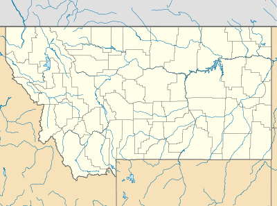 Gallatin River Ranch, Montana Location of Gallatin River Ranch, Montana | |
| Coordinates: 45°54′11″N 111°19′46″W / 45.90306°N 111.32944°WCoordinates: 45°54′11″N 111°19′46″W / 45.90306°N 111.32944°W | |
| Country | United States |
| State | Montana |
| County | Gallatin |
| Area | |
| • Total | 7.07 sq mi (18.31 km2) |
| • Land | 7.07 sq mi (18.31 km2) |
| • Water | 0.00 sq mi (0.00 km2) |
| Elevation | 4,501 ft (1,372 m) |
| Population (2010) | |
| • Total | 69 |
| • Density | 9.8/sq mi (3.8/km2) |
| Time zone | Mountain (MST) (UTC-7) |
| • Summer (DST) | MDT (UTC-6) |
| Area code(s) | 406 |
| FIPS code | 30-01550 |
| GNIS feature ID | 2583810[1] |
Gallatin River Ranch is a census-designated place (CDP) in Gallatin County, Montana, United States. The population was 69 at the 2010 census.[2]
References
Municipalities and communities of Gallatin County, Montana, United States | ||
|---|---|---|
| Cities | 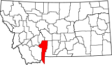 | |
| Towns | ||
| CDPs | ||
| Unincorporated communities | ||
| Footnotes | ‡This populated place also has portions in an adjacent county or counties | |
This article is issued from Wikipedia - version of the 7/29/2014. The text is available under the Creative Commons Attribution/Share Alike but additional terms may apply for the media files.