Gamboma Airport
| Gamboma Airport | |||||||||||
|---|---|---|---|---|---|---|---|---|---|---|---|
| IATA: GMM – ICAO: FCOG | |||||||||||
| Summary | |||||||||||
| Serves | Gamboma, Republic of the Congo | ||||||||||
| Elevation AMSL | 1,509 ft / 460 m | ||||||||||
| Coordinates | 1°49′50″S 15°53′00″E / 1.83056°S 15.88333°ECoordinates: 1°49′50″S 15°53′00″E / 1.83056°S 15.88333°E | ||||||||||
| Map | |||||||||||
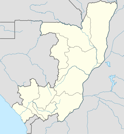 GMM Location of airport in the Republic of the Congo | |||||||||||
| Runways | |||||||||||
| |||||||||||
Gamboma Airport (IATA: GMM, ICAO: FCOG) is an airport serving the city of Gamboma, Republic of the Congo. The runway is 5 kilometres (3.1 mi) north of town.
See also
 Republic of the Congo portal
 Aviation portal
- List of airports in the Republic of the Congo
- Transport in the Republic of the Congo
References
- ↑ Airport information for GMM at Great Circle Mapper.
- ↑ Google Maps - Gamboma
External links
This article is issued from Wikipedia - version of the 12/4/2016. The text is available under the Creative Commons Attribution/Share Alike but additional terms may apply for the media files.