General José Francisco Bermúdez Airport
| General José Francisco Bermúdez Airport | |||||||||||
|---|---|---|---|---|---|---|---|---|---|---|---|
| IATA: CUP – ICAO: SVCP | |||||||||||
| Summary | |||||||||||
| Airport type | General | ||||||||||
| Serves | Carúpano, Venezuela | ||||||||||
| Elevation AMSL | 85 ft / 26 m | ||||||||||
| Coordinates | 10°39′35″N 063°15′40″W / 10.65972°N 63.26111°W | ||||||||||
| Map | |||||||||||
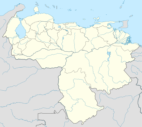 CUP Location of the airport in Venezuela | |||||||||||
| Runways | |||||||||||
| |||||||||||
General José Francisco Bermúdez Airport (IATA: CUP, ICAO: SVCP) is an airport serving the Caribbean coastal city of Carúpano, Venezuela.
The Carupano non-directional beacon (Ident: CUP) is located on the field.[3]
Airlines and destinations
| Airlines | Destinations |
|---|---|
| Avior Airlines | Caracas |
See also
 Venezuela portal
 Aviation portal
- Transport in Venezuela
- List of airports in Venezuela
References
- ↑ Airport information for CUP at Great Circle Mapper.
- ↑ Google Maps - Carúpano
- ↑ CUP NDB
External links
- OurAirports - Carúpano
- OpenStreetMap - Carúpano
- SkyVector - Carupano
- Airport information for SVCP at World Aero Data. Data current as of October 2006.
This article is issued from Wikipedia - version of the 11/22/2016. The text is available under the Creative Commons Attribution/Share Alike but additional terms may apply for the media files.