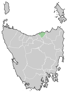
George Town Council
| George Town Council Tasmania | |||||||||||||
|---|---|---|---|---|---|---|---|---|---|---|---|---|---|
 George Town Council | |||||||||||||
| Coordinates | 41°05′24″S 147°00′00″E / 41.09000°S 147.00000°ECoordinates: 41°05′24″S 147°00′00″E / 41.09000°S 147.00000°E | ||||||||||||
| Population | 6,892 (2010 est.)[1] | ||||||||||||
| • Density | 10.5608/km2 (27.352/sq mi) | ||||||||||||
| Area | 652.6 km2 (252.0 sq mi) | ||||||||||||
| Mayor | Doug Burt | ||||||||||||
| Council seat | George Town | ||||||||||||
| Region | East Tamar Valley | ||||||||||||
| State electorate(s) | Bass | ||||||||||||
| Federal Division(s) | Bass | ||||||||||||
| Website | George Town Council | ||||||||||||
| |||||||||||||
The George Town Council is a local government area of the state of Tasmania in Australia. It covers George Town and the surrounding area.
In 2006, George Town had the highest birth rate in Tasmania, with a TFR of 3.75 children per women.[2]
Suburbs[3]
| Suburb | Census Population 2011 | Reason |
|---|---|---|
| George Town | 4304 | Includes Pipe Clay Bay |
| Pipe Clay Bay | Incl. in George Town | |
| Low Head | 441 | |
| Bell Bay | ||
| Long Reach | Incl. in Hillwood | |
| Hillwood | 819 | Includes Long Reach, Mount Direction, Lowers Turners Marsh |
| Pipers River | 377 | |
| Pipers Brook | Incl. in Bellingham | |
| Bellingham | 186 | Includes Pipers Brook, Retreat |
| Weymouth | 216 | Includes Lulworth |
| Lulworth | Incl. in Weymouth | |
| Beechford | 351 | Includes Stony Head, Lefroy |
| Stony Head | Incl. in Beechford | |
| Lefroy | Incl. in Beechford | |
| Back Creek | ||
| Total | 6,694 | |
| (58) | Variance | |
| Local Government Total | 6,636 | Gazetted George Town Local Government Area |
References
- ↑ "3218.0 - Regional Population Growth, Australia, 2009-10". Australian Bureau of Statistics. 31 March 2011. Retrieved 23 August 2011. Estimated resident population (ERP) at 30 June 2010.
- ↑ http://www.news.com.au/mercury/story/0,22884,20600554-5007221,00.html
- ↑ Australian Bureau of Statistics. "2011 Census QuickStats". Retrieved 28 May 2016.
External links
This article is issued from Wikipedia - version of the 5/28/2016. The text is available under the Creative Commons Attribution/Share Alike but additional terms may apply for the media files.