Glendale, Mississippi
| Glendale, Mississippi | |
|---|---|
| Census-designated place | |
 Glendale | |
| Coordinates: 31°21′53″N 89°18′22″W / 31.36472°N 89.30611°WCoordinates: 31°21′53″N 89°18′22″W / 31.36472°N 89.30611°W | |
| Country | United States |
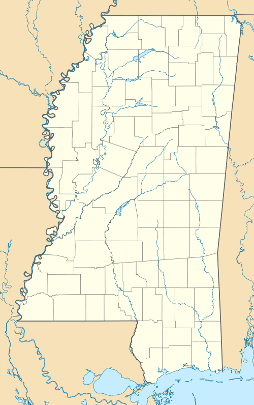
| State | Mississippi |
| County | Forrest |
| Area | |
| • Total | 1.63 sq mi (4.22 km2) |
| • Land | 1.63 sq mi (4.22 km2) |
| • Water | 0.0 sq mi (0.0 km2) |
| Elevation | 167 ft (51 m) |
| Population (2010) | |
| • Total | 1,657 |
| • Density | 1,016/sq mi (392.3/km2) |
| Time zone | Central (CST) (UTC-6) |
| • Summer (DST) | CDT (UTC-5) |
| ZIP code | 39402 |
| Area code(s) | 601 |
| GNIS feature ID | 670431[1] |
Glendale is an unincorporated community and census-designated place (CDP) located in Forrest County, Mississippi, United States. Glendale is approximately 3.5 miles (5.6 km) north of Hattiesburg on Mississippi Highway 42 and a part of the Hattiesburg, Mississippi Metropolitan Statistical Area.
As of the 2010 census, Glendale had a population of 1,657.[2]
References
- ↑ U.S. Geological Survey Geographic Names Information System: Glendale, Mississippi
- ↑ "Geographic Identifiers: 2010 Census Summary File 1 (G001), Glendale CDP, Mississippi". American FactFinder. U.S. Census Bureau. Retrieved June 2, 2016.
Municipalities and communities of Forrest County, Mississippi, United States | ||
|---|---|---|
| Cities | 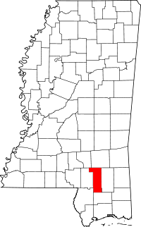 | |
| CDPs | ||
| Other unincorporated communities | ||
| Ghost towns | ||
| Footnotes | ‡This populated place also has portions in an adjacent county or counties | |
This article is issued from Wikipedia - version of the 6/3/2016. The text is available under the Creative Commons Attribution/Share Alike but additional terms may apply for the media files.