Gobernador Gregores Airport
| Gobernador Gregores Airport | |||||||||||
|---|---|---|---|---|---|---|---|---|---|---|---|
| IATA: GGS – ICAO: SAWR | |||||||||||
| Summary | |||||||||||
| Airport type | Civil | ||||||||||
| Location | Gobernador Gregores, Argentina | ||||||||||
| Elevation AMSL | 1,168 ft / 356 m | ||||||||||
| Coordinates | 48°46′58″S 070°08′57″W / 48.78278°S 70.14917°WCoordinates: 48°46′58″S 070°08′57″W / 48.78278°S 70.14917°W | ||||||||||
| Map | |||||||||||
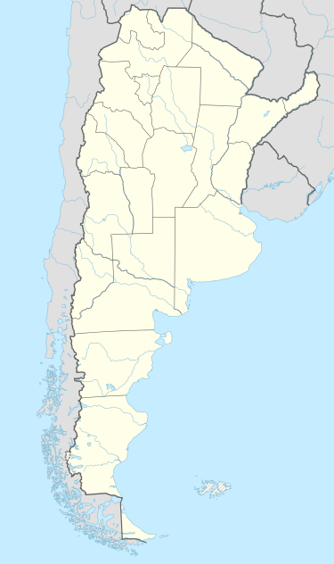 GGS Location of airport in Argentina | |||||||||||
| Runways | |||||||||||
| |||||||||||
Gobernador Gregores Airport (IATA: GGS, ICAO: SAWR), is an airport in Gobernador Gregores, Argentina.
Airlines and destinations
| Airlines | Destinations |
|---|---|
| LADE | Comodoro Rivadavia, Lago Argentino, Puerto San Julián, Santa Cruz |
External links
- Airport information for SAWR at World Aero Data. Data current as of October 2006.
This article is issued from Wikipedia - version of the 11/27/2016. The text is available under the Creative Commons Attribution/Share Alike but additional terms may apply for the media files.