Goraghatta
| Goraghatta ಗೊರಘಟ್ಟ | |
|---|---|
| Village | |
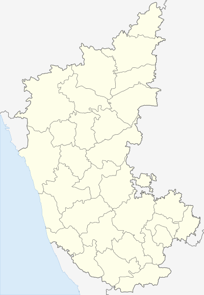 Goraghatta Location in Karnataka, India | |
| Coordinates: 13°17′31″N 77°32′35″E / 13.292°N 77.543°ECoordinates: 13°17′31″N 77°32′35″E / 13.292°N 77.543°E | |
| Country |
|
| State | Karnataka |
| District | Bangalore Rural |
| Elevation | 880 m (2,890 ft) |
| Languages | |
| • Official | Kannada |
| Time zone | IST (UTC+5:30) |
| PIN | 561 204 |
| Vehicle registration | KA-52 |
Goraghatta is a Village in Nelamangala Taluk in Bangalore Rural District of Karnataka State, India. Goraghatta Resides in border between Nelmangala and Doddaballapura, Goraghatta near "Bete Ranganatha Swamy" Temple here only.
Offices
- Village Accountant Office, Goraghatta
- Govt Higher Primary School, Goraghatta
- Goraghatta Milk Producers' Co-operative Society Limited
References
This article is issued from Wikipedia - version of the 11/16/2016. The text is available under the Creative Commons Attribution/Share Alike but additional terms may apply for the media files.