Gravel Hills
For the mountain range in Tuolumne County, California, see Gravel Range.
| Gravel Hills | |
|---|---|
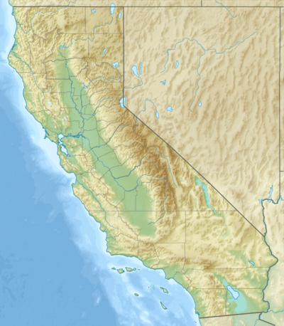 Location of the Gravel Hills in California [1] | |
| Highest point | |
| Elevation | 965 m (3,166 ft) |
| Geography | |
| Country | United States |
| State | California |
| Region | Mojave Desert |
| District | San Bernardino County |
| Range coordinates | 35°11′25″N 117°20′37″W / 35.1902°N 117.3437°WCoordinates: 35°11′25″N 117°20′37″W / 35.1902°N 117.3437°W |
| Topo map | USGS Bird Spring |
The Gravel Hills are a low mountain range in the central Mojave Desert, in northwestern San Bernardino County, California.[1]
They are located northeast of Barstow, and northeast of Kramers Junction. The hills are in a Bureau of Land Management administered area.
References
- 1 2 "Gravel Hills". Geographic Names Information System. United States Geological Survey. Retrieved 2009-05-04.
This article is issued from Wikipedia - version of the 1/13/2016. The text is available under the Creative Commons Attribution/Share Alike but additional terms may apply for the media files.