Grizzly Mountain (Crook County, Oregon)
| Grizzly Mountain | |
|---|---|
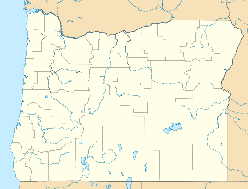 Grizzly Mountain Location in Oregon | |
| Highest point | |
| Elevation | 5,629 ft (1,716 m) NAVD 88[1] |
| Prominence | 1,475 ft (450 m) [2] |
| Coordinates | 44°26′17″N 120°57′17″W / 44.438009425°N 120.954653319°WCoordinates: 44°26′17″N 120°57′17″W / 44.438009425°N 120.954653319°W [1] |
| Geography | |
| Location | Crook County, Oregon, U.S. |
| Topo map | USGS Grizzly Mountain |
Grizzly Mountain is located in Crook County, Central Oregon near the city of Prineville. Its summit is at 5,629 feet (1,716 m).
References
- 1 2 "Grizzly". NGS data sheet. U.S. National Geodetic Survey. Retrieved 2008-11-12.
- ↑ "Grizzly Mountain, Oregon". Peakbagger.com. Retrieved 2008-11-12.
External links
This article is issued from Wikipedia - version of the 6/8/2016. The text is available under the Creative Commons Attribution/Share Alike but additional terms may apply for the media files.