Harangul
| Harangul | |
|---|---|
| village | |
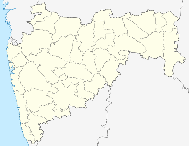 Harangul  Harangul Location in Maharashtra, India | |
| Coordinates: 18°54′0″N 76°40′0″E / 18.90000°N 76.66667°ECoordinates: 18°54′0″N 76°40′0″E / 18.90000°N 76.66667°E | |
| Country |
|
| State | Maharashtra |
| District | Latur |
| Elevation | 438 m (1,437 ft) |
| Languages | |
| • Official | Marathi |
| Time zone | IST (UTC+5:30) |
| Vehicle registration | MH- |
| Coastline | 0 kilometres (0 mi) |
Harangul is a village in Latur district, Maharashtra, India.
Geography
It is located at an average elevation 438 m above MSL.[1]
External links
References
This article is issued from Wikipedia - version of the 8/24/2016. The text is available under the Creative Commons Attribution/Share Alike but additional terms may apply for the media files.