Harmony Chapel and Cemetery
|
Harmony Chapel and Cemetery | |
 | |
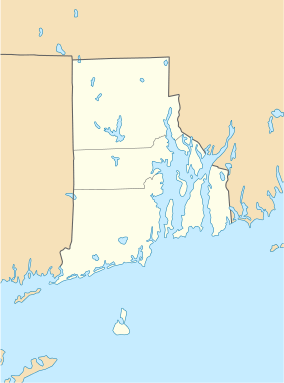  | |
| Location | Harmony, Rhode Island |
|---|---|
| Coordinates | 41°53′20″N 71°36′3″W / 41.88889°N 71.60083°WCoordinates: 41°53′20″N 71°36′3″W / 41.88889°N 71.60083°W |
| Area | 2 acres (0.81 ha) |
| Architect | Unknown |
| Architectural style | Federal |
| NRHP Reference # | 80000098 [1] |
| Added to NRHP | June 25, 1980 |
The Harmony Chapel and Cemetery (also known as "Harmony Meeting House" or "Harmony Cemetery") are a historic church and cemetery in Harmony, Rhode Island, a village in Glocester.
Overview
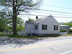
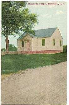
The wood-frame chapel adjacent to the cemetery sits on US Route 44 west of Edgewood Drive. Built as a schoolhouse in c. 1830, it is one of the few Federal-style schoolhouses to survive in the state, and is probably the best-preserved of that period. It was later (by 1870) converted for use as a meeting house (free chapel) for villagers.[2] Residents would occasionally hire ministers to speak and hold various Christian religious ceremonies.
The cemetery behind the chapel was used as a private cemetery by the Steere, Smith and other local families until opened for public use in 1878.
Notable burials
- Arthur Steere, businessman, politician
Images
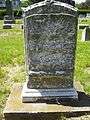
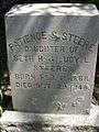 Dr. Patience Steere
 Sen. Arthur Steere, Henry J. Steere, Frederick Lewis and family
 Seth Hunt Steere
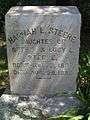 Hannah Steere
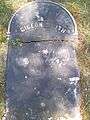 Gideon Smith
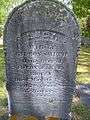 Lucy Bowen Smith
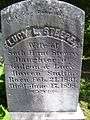 Lucy Smith Steere
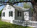
 Chico, the monkey
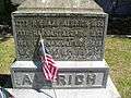 Richard Aldrich family
 Richard Aldrich family
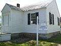 Harmony Cemetery and Chapel
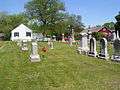 Harmony Cemetery
See also
| Wikimedia Commons has media related to Harmony Chapel and Cemetery. |
References and external links
- Friends of Harmony Village information and pictures of the chapel
- Harmony and Glocester Historical Information
- ↑ National Park Service (2007-01-23). "National Register Information System". National Register of Historic Places. National Park Service.
- ↑ "NRHP nomination for Harmony Chapel and Cemetery" (PDF). Rhode Island Preservation. Retrieved 2014-09-16.
| Topics | |
|---|---|
| Lists by states |
|
| Lists by insular areas | |
| Lists by associated states | |
| Other areas | |
| |