Heer, Maastricht
Heer is a neighbourhood of Maastricht, in the Dutch province of Limburg. Heer is a former municipality and village, incorporated into Maastricht in 1970 and, until 1828, this municipality was called "Heer en Keer".[1] The municipality covered the former villages of Heer and Scharn. It is located on the right bank of the River Meuse.
Impressions
References
- ↑ Ad van der Meer and Onno Boonstra, Repertorium van Nederlandse gemeenten, KNAW, 2006.
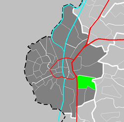
Location
External links
|
|---|
|
| Culture | | |
|---|
|
| Geography | Geology & Hydrology | |
|---|
| Region / Urban area | |
|---|
| Neighbourhoods | |
|---|
|
|---|
|
| Politics | Local politics | |
|---|
| International politics | |
|---|
|
|---|
|
| Sports | |
|---|
|
| Transportation | |
|---|
|
|
Coordinates: 50°50′26″N 5°43′37″E / 50.84056°N 5.72694°E / 50.84056; 5.72694
_-_Dorpstraat_78_20110807.jpg) National monument 506637, St Petrus Banden Church
National monument 506637, St Petrus Banden Church National monument 506693, chapel of the Opveld convent