Helleland (municipality)
| Helleland herad | |
|---|---|
| Former Municipality | |
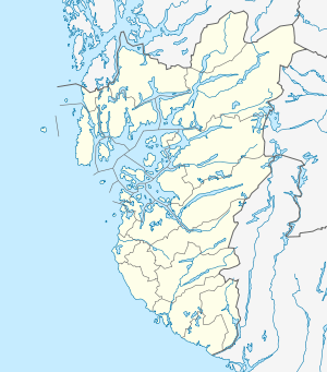 Helleland herad Location in Rogaland county | |
| Coordinates: 58°31′14″N 06°06′57″E / 58.52056°N 6.11583°ECoordinates: 58°31′14″N 06°06′57″E / 58.52056°N 6.11583°E | |
| Country | Norway |
| Region | Western Norway |
| County | Rogaland |
| District | Dalane |
| Municipality ID | NO-1115 |
| Adm. Center | Helleland |
| Area[1] | |
| • Total | 148 km2 (57 sq mi) |
| Time zone | CET (UTC+01:00) |
| • Summer (DST) | CEST (UTC+02:00) |
| Created as | Formannskapsdistrikt in 1838 |
| Merged into | Eigersund in 1965 |
Helleland is a former municipality in Rogaland county, Norway. The 148-square-kilometre (57 sq mi) municipality existed from 1838 until its dissolution in 1965. The municipality is now located in the central part of the present-day municipality of Eigersund. The administrative centre of the municipality was the village of Helleland where the Helleland Church is located.[1]
History
The parish of Helleland was established as a municipality on 1 January 1838 (see formannskapsdistrikt). During the 1960s there were many municipal mergers across Norway due to the work of the Schei Committee. On 1 January 1965 the municipality of Helleland (population: 851) was merged with the town of Egersund (population: 3,787), the municipality of Eigersund (population: 4,664), and the Gyadalen and Grøsfjell areas of the municipality of Heskestad (population: 114). The merger created a much larger municipality of Eigersund.[2]
See also
References
- 1 2 Store norske leksikon. "Helleland – tidligere kommune i Rogaland" (in Norwegian). Retrieved 2016-07-03.
- ↑ Jukvam, Dag (1999). "Historisk oversikt over endringer i kommune- og fylkesinndelingen" (PDF) (in Norwegian). Statistisk sentralbyrå.