Hirnsdorf
| Hirnsdorf | |
|---|---|
 Hirnsdorf Location within Austria | |
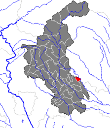
Location within Weiz district
| |
| Coordinates: 47°12′00″N 15°49′00″E / 47.20000°N 15.81667°ECoordinates: 47°12′00″N 15°49′00″E / 47.20000°N 15.81667°E | |
| Country | Austria |
| State | Styria |
| District | Weiz |
| Government | |
| • Mayor | Friedrich Wachmann (ÖVP) |
| Area | |
| • Total | 4.53 km2 (1.75 sq mi) |
| Elevation | 358 m (1,175 ft) |
| Population (1 January 2016)[1] | |
| • Total | 677 |
| • Density | 150/km2 (390/sq mi) |
| Time zone | CET (UTC+1) |
| • Summer (DST) | CEST (UTC+2) |
| Postal code | 8221 |
| Area code | 03113 |
| Vehicle registration | WZ |
| Website |
www.hirnsdorf. steiermark.at |
Hirnsdorf is a former municipality in the district of Weiz in the Austrian state of Styria. Since 2015, it is part of the municipality Feistritztal, in the Hartberg-Fürstenfeld District.
References
This article is issued from Wikipedia - version of the 11/18/2016. The text is available under the Creative Commons Attribution/Share Alike but additional terms may apply for the media files.