Hoby Wolf Airport
| Hoby Wolf Airport | |||||||||||
|---|---|---|---|---|---|---|---|---|---|---|---|
| IATA: none – ICAO: none – FAA LID: 2MD5 | |||||||||||
| Summary | |||||||||||
| Operator | MRS. HOBY WOLF | ||||||||||
| Serves | Eldersburg, Maryland | ||||||||||
| Location | Carroll County, MD | ||||||||||
| Built | June 1964 | ||||||||||
| Elevation AMSL | 600 ft / 183 m | ||||||||||
| Coordinates | 39°24′28″N 076°55′39″W / 39.40778°N 76.92750°WCoordinates: 39°24′28″N 076°55′39″W / 39.40778°N 76.92750°W | ||||||||||
| Map | |||||||||||
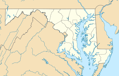 2MD5 Location of airport in Maryland | |||||||||||
| Runways | |||||||||||
| |||||||||||
| Statistics (2015) | |||||||||||
| |||||||||||
Hoby Wolf Airport, (ICAO: K2MD5, FAA LID: 2MD5), is a private airport located 1 mile (2 km) east of Eldersburg, Maryland.[1]
History
The airport was laid out on a 77-acre farm purchased as a home by Hobart "Hoby" Wolf.[2]
References
External links
This article is issued from Wikipedia - version of the 8/27/2016. The text is available under the Creative Commons Attribution/Share Alike but additional terms may apply for the media files.