Horningtops
| Horningtops | |
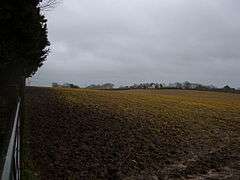 View towards 'Horningtops' |
|
 Horningtops |
|
| OS grid reference | SX271608 |
|---|---|
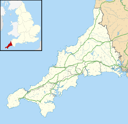
| Civil parish | Dobwalls and Trewidland |
| Unitary authority | Cornwall |
| Ceremonial county | Cornwall |
| Region | South West |
| Country | England |
| Sovereign state | United Kingdom |
| EU Parliament | South West England |
Coordinates: 50°25′19″N 4°26′06″W / 50.422°N 4.435°W
Horningtops is a hamlet south-southeast of Liskeard in east Cornwall, England in National Grid grid square SX2760.[1][2]
References
Cornwall Portal | |
| Unitary authorities | |
| Major settlements |
|
| Rivers | |
| Topics | |
This article is issued from Wikipedia - version of the 1/20/2016. The text is available under the Creative Commons Attribution/Share Alike but additional terms may apply for the media files.