Ibadan Airport
Not to be confused with Abadan Airport.
| Ibadan Airport | |||||||||||
|---|---|---|---|---|---|---|---|---|---|---|---|
| IATA: IBA – ICAO: DNIB | |||||||||||
| Summary | |||||||||||
| Airport type | Public | ||||||||||
| Owner/Operator | Federal Airports Authority of Nigeria (FAAN) | ||||||||||
| Serves | Ibadan, Nigeria | ||||||||||
| Elevation AMSL | 725 ft / 221 m | ||||||||||
| Coordinates | 7°21′35″N 3°58′33″E / 7.35972°N 3.97583°E | ||||||||||
| Map | |||||||||||
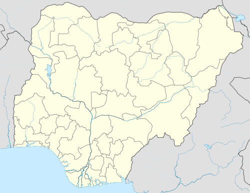 IBA Location of the airport in Nigeria | |||||||||||
| Runways | |||||||||||
| |||||||||||
Ibadan Airport (IATA: IBA, ICAO: DNIB) is an airport serving Ibadan, the capital of the Oyo State of Nigeria.
The Ibadan VOR-DME (Ident: IBA) and non-directional beacon (Ident: IN) are located on the field.[4][5]
Airlines and destinations
| Airlines | Destinations |
|---|---|
| Arik Air | Abuja |
| Overland Airways | Abuja, Lagos |
See also
 Nigeria portal
 Aviation portal
- Transport in Nigeria
- List of airports in Nigeria
References
- ↑ Airport information for DNIB at World Aero Data. Data current as of October 2006.Source: DAFIF.
- ↑ Airport information for IBA at Great Circle Mapper.
- ↑ Google Maps - Ibadan
- ↑ OurAirports - IBA VOR
- ↑ OurAirports - IN NDB
External links
This article is issued from Wikipedia - version of the 10/30/2016. The text is available under the Creative Commons Attribution/Share Alike but additional terms may apply for the media files.