Impfondo Airport
| Impfondo Airport | |||||||||||
|---|---|---|---|---|---|---|---|---|---|---|---|
| IATA: ION – ICAO: FCOI | |||||||||||
| Summary | |||||||||||
| Serves | Impfondo, Republic of the Congo | ||||||||||
| Elevation AMSL | 1,099 ft / 335 m | ||||||||||
| Coordinates | 01°35′22″N 018°02′42″E / 1.58944°N 18.04500°ECoordinates: 01°35′22″N 018°02′42″E / 1.58944°N 18.04500°E | ||||||||||
| Map | |||||||||||
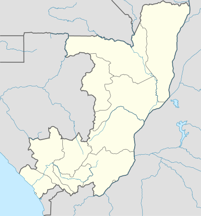 ION Location in the Republic of the Congo | |||||||||||
| Runways | |||||||||||
| |||||||||||
Impfondo Airport (IATA: ION, ICAO: FCOI) is an airport serving the city of Impfondo, Republic of the Congo. The runway has an additional 63 metres (207 ft) of paved overrun on each end.
Airlines and destinations
| Airlines | Destinations |
|---|---|
| Canadian Airways Congo | Brazzaville[3][4] |
See also
 Republic of the Congo portal
 Aviation portal
- List of airports in the Republic of the Congo
- Transport in the Republic of the Congo
References
- ↑ Airport information for ION at Great Circle Mapper.
- ↑ Google Maps - Impfondo
- ↑ "Canadian Airways Congo - Programmes des vols". Retrieved 16 June 2016.
- ↑ "Mangos for Meat". Airliner World (September 2014): 31.
External links
This article is issued from Wikipedia - version of the 12/4/2016. The text is available under the Creative Commons Attribution/Share Alike but additional terms may apply for the media files.