Inchiyani
| Inchiyani Inchiyani | |
|---|---|
| town | |
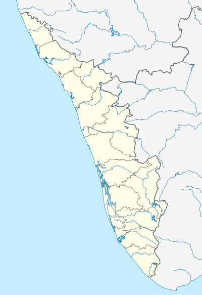 Inchiyani  Inchiyani Location in Kerala, India | |
| Coordinates: 9°32′10″N 76°51′45″E / 9.53611°N 76.86250°ECoordinates: 9°32′10″N 76°51′45″E / 9.53611°N 76.86250°E | |
| Country |
|
| State | Kerala |
| District | Kottayam |
| Population | |
| • Total | 2,500 |
| Languages | |
| • Official | Malayalam, English |
| Time zone | IST (UTC+5:30) |
| PIN | 686512 |
| Vehicle registration | KL-34 |
| Sex ratio | 1:1 ♂/♀ |
| Lok Sabha constituency | Pathanamthitta |
| Climate | humid (Köppen) |
Inchiyani is a village near Mundakayam in Kanjirappally Taluk of Kerala, India.[1]
History
Sir C.P. Ramaswamy Iyer took over 20,000-acre (81 km2) land of First Freedom Fighter Chempil Arayan Ananthapadmanabhan Valiya Arayan situated in Edakunnam, Erumely and Ranni.
Location
Inchiyaniis located 5 kilometres (3.1 mi) from National Highway 183, with access from Chittady, or from Parathodu via Edakkunnam.
References
- ↑ The Catholic Directory of India. St. Paul Publications. 2005.
This article is issued from Wikipedia - version of the 10/22/2016. The text is available under the Creative Commons Attribution/Share Alike but additional terms may apply for the media files.