Indian Island 28
| Indian Island First Nations | |
|---|---|
| First Nations reserve | |
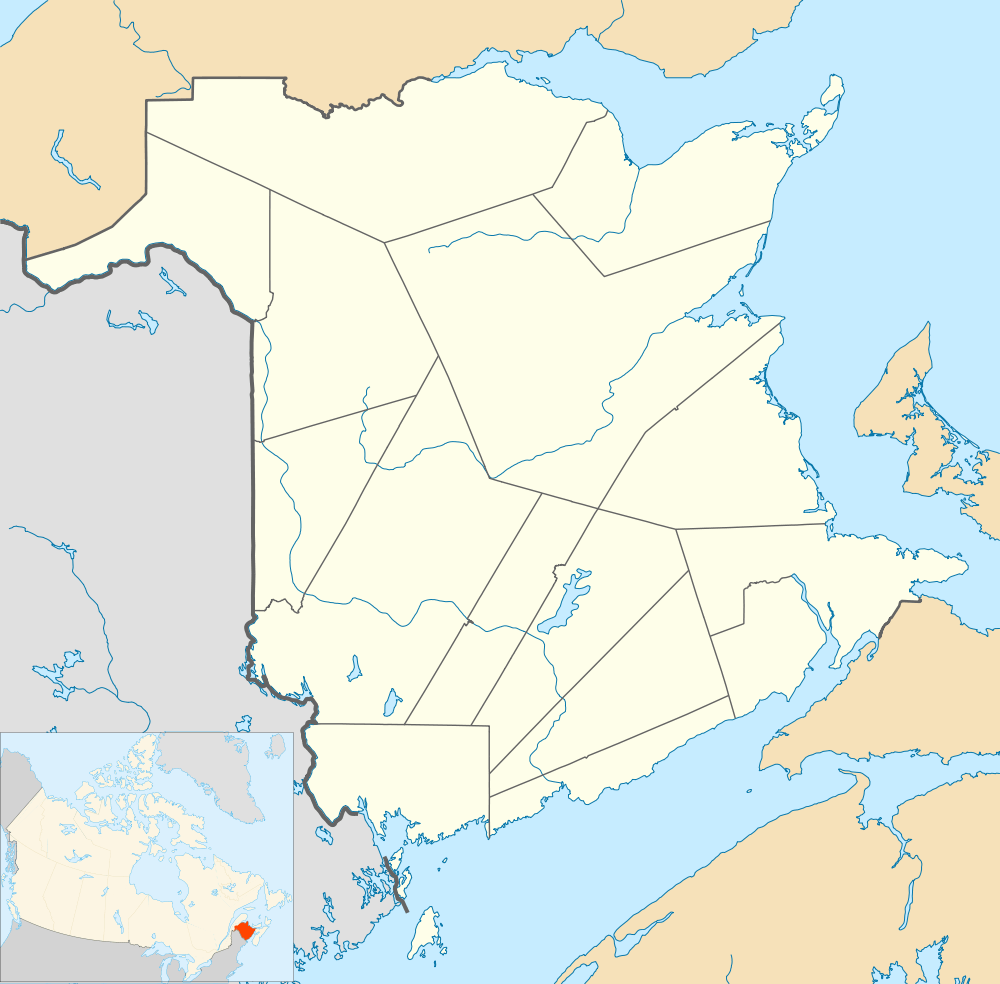 Location of Indian Island, New Brunswick | |
| Coordinates: 46°41′N 64°47′W / 46.69°N 64.79°W | |
| Country |
|
| Province |
|
| County | Kent |
| Parish | Richibucto |
| Government | |
| • Type | Band Council |
| Area[1] | |
| • Land | 0.27 km2 (0.10 sq mi) |
| Population (2006)[1][2] | |
| • Total | 97 |
| • Density | 360.3/km2 (933/sq mi) |
| • Change 2001-06 |
|
| • Census Ranking | 4,432 of 5,008 |
| Time zone | AST (UTC-4) |
| • Summer (DST) | ADT (UTC-3) |
| Postal code(s) | E4W |
| Area code(s) | 506 |
| Dwellings | 50 |
| Median Income* | $N/A CDN |
| |
Indian Island 28 is a Mi'kmaq First Nation reserve on Indian Island in Canada located in Kent County, New Brunswick.[3]
Its population in the 2006 Census was 97.
Demographics
|
Population trend[4]
|
Mother tongue language (2006)[1]
|
History
Notable people
Main article: List of people from Gloucester County, New Brunswick
See also
- List of communities in New Brunswick
- List of Indian reserves in Canada
- List of islands of New Brunswick
References
- 1 2 3 2006 Statistics Canada Community Profile: Indian Island, New Brunswick
- ↑ Statistics Canada Population and dwelling counts, for Canada and census subdivisions (municipalities), 2006 and 2001 censuses - 100% data
- ↑ New Brunswick Provincial Archives - Indian Island 28
- ↑ Statistics Canada: 1996, 2001, 2006 census
 |
Northumberland Strait | | ||
| Pirogue | |
Bedec | ||
| ||||
| | ||||
| Peters Mills |
| Subdivisions | |
|---|---|
| Cities | |
| Counties | |
| |
Coordinates: 46°41′24″N 64°47′24″W / 46.69000°N 64.79000°W
This article is issued from Wikipedia - version of the 7/27/2015. The text is available under the Creative Commons Attribution/Share Alike but additional terms may apply for the media files.