Indra, Gujarat
| Indra | |
|---|---|
| village | |
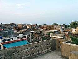 | |
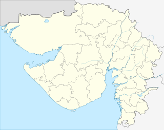 Indra  Indra Location in Gujarat, India | |
| Coordinates: 21°35′8″N 70°6′41″E / 21.58556°N 70.11139°ECoordinates: 21°35′8″N 70°6′41″E / 21.58556°N 70.11139°E | |
| Country |
|
| State | Gujarat |
| District | Junagadh |
| Population (2011) | |
| • Total | 1,685 |
| Languages | |
| • Official | Gujarati, Hindi |
| Time zone | IST (UTC+5:30) |
| PIN | 362620 |
| Telephone code | 02874 |
| Vehicle registration | GJ |
| Nearest city | Manavadar |
| Literacy | 76.88% |
| Website |
gujaratindia |
Indra is a village in Junagdh District in the state of Gujarat, India. It is located 41 KM towards west from District head quarters Junagadh.
As of 2001 India census,[1] [2] there were 1685 people residing in Indra. There were 842 males and 843 females, thus males constitute 49.97% of population and females 50.03%. Indra has an average literacy rate of 76.88%. The PIN Code of Indra is 362620[3] and postal head office is Sardargadh.
Temples in Indra
1. Ram Mandip (Ram Mandir-Choro)
2. Gau Shala
References
This article is issued from Wikipedia - version of the 10/3/2016. The text is available under the Creative Commons Attribution/Share Alike but additional terms may apply for the media files.