Itaporã
| Itaporã | |
|---|---|
| Municipality | |
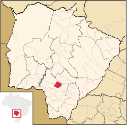 Location in Mato Grosso do Sul state | |
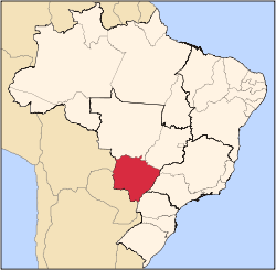
 Itaporã Location in Brazil | |
| Coordinates: 22°04′44″S 54°47′20″W / 22.07889°S 54.78889°WCoordinates: 22°04′44″S 54°47′20″W / 22.07889°S 54.78889°W | |
| Country |
|
| Region | Central-West Region |
| State | Mato Grosso do Sul |
| Area | |
| • Total | 1,322 km2 (510 sq mi) |
| Population (2005) | |
| • Total | 17,740 |
| • Density | 13/km2 (35/sq mi) |
| Time zone | BRT-1/BRST-1 (UTC-4/-3) |
Itaporã is a municipality located in the Brazilian state of Mato Grosso do Sul. Its population was 17,740 (2005) and its area is 1,322 km².[1]
References
Capital: Campo Grande | |||||||||||||||
| Mesoregion Centro Norte de Mato Grosso do Sul |
|  | |||||||||||||
| Mesoregion Leste de Mato Grosso do Sul |
| ||||||||||||||
| Mesoregion Pantanal Sul Mato-Grossense |
| ||||||||||||||
| Mesoregion Sudoeste de Mato Grosso do Sul |
| ||||||||||||||
This article is issued from Wikipedia - version of the 5/21/2016. The text is available under the Creative Commons Attribution/Share Alike but additional terms may apply for the media files.