Jalirpar
| Jalirpar | |
|---|---|
| Village | |
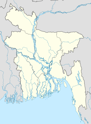 Jalirpar Location in Bangladesh | |
| Coordinates: 22°58′N 90°06′E / 22.967°N 90.100°E | |
| Country |
|
| Division | Dhaka Division |
| District | Gopalganj District |
| Upazila | Muksudpur Upazila |
| Area | |
| • Total | 1 sq mi (3 km2) |
| Population | |
| • Total | 2,300 |
| • Density | 1,900/sq mi (750/km2) |
| Time zone | Bangladesh Time (UTC+6) |
Jalirpar is a Village and a Union too under Muksudpur Upazila, Gopalganj established in 1634.
The Bil Rout Canal travels through the village of Jalirpar on its way to the Padma River.
Non-governmental organizations operating in Jalirpar include BDAO (the Bangladesh Development Acceleration Organisation), BRAC, CCDB, ASA, World Vision, and HCCB.
References
Coordinates: 22°58′N 90°06′E / 22.967°N 90.100°E
This article is issued from Wikipedia - version of the 11/17/2016. The text is available under the Creative Commons Attribution/Share Alike but additional terms may apply for the media files.