Jamua (community development block)
| Jamua | |
|---|---|
| Community development block | |
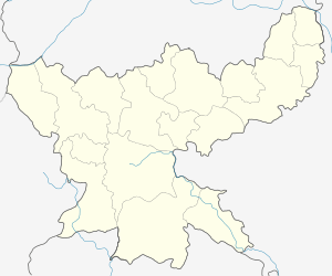 Jamua  Jamua Location in Jharkhand, India | |
| Coordinates: 24°22′13″N 86°8′51″E / 24.37028°N 86.14750°ECoordinates: 24°22′13″N 86°8′51″E / 24.37028°N 86.14750°E | |
| Country |
|
| State | Jharkhand |
| District | Giridih |
| Government | |
| • Type | Community development block |
| Population (2011) | |
| • Total | 273,561 |
| Languages | |
| • Official | Hindi, Santali |
| Time zone | IST (UTC+5:30) |
| Vehicle registration | JH |
| Lok Sabha constituency | Kodarma |
| Vidhan Sabha constituency | Jamua |
| Website |
giridih |
| CD Block | |
Jamua is a community development block that forms an administrative division in Khuri Mahua subdivision[1] of Giridih district in the Indian state of Jharkhand.
Geography
Jamua is located at 24°22′13″N 86°8′51″E / 24.37028°N 86.14750°E.[2]
Jamua CD Block covers an area of 47,850.12 ha, out of which 6,875.85 ha is forest area.[3]
Panchayats in Jamua CD Block are: Karihari, Chungalkhar, Pandedih, Palmo, Fataha, Dhuraita, Remba, Dhotho, Shali, Pindarsot, Baddiha, Dhurgadgi, Tara, Chunglo, Kendua, Chachghara, Charghara, Jaridih, Nawadih, Harladih, Pobi, Chakmanjo, Kharagdiha, Jagranathdih, Tikamagha, Magha Kala, Pratappur, Balgo, Dharmpur, Medho Chaparkho, Lataki, Chorgata, Goro, Siyatand, Chilga, Nawdiha, Kurhobindo, Malutand, Chitardih, Karodih and Behrabad.[3]
Rivers in Jamua CD Block are Mango, Orari and Bara.[3]
Demographics
As per 2011 Census of India Jamua CD Block had a total population of 273,561, all of which were rural. There were 139,892 males and 131,671 females. Scheduled Castes numbered 41,800 and Scheduled Tribes numbered 2,689.[4]
Literacy
As per 2011 census the total number of literates in Jamua CD Block was 140,748 out of which 89,067 were males and 51,681 were females.[4]
Economy
Jamua CD Block is home to mica mines.[3]
See also
References
- ↑ "Jharkhand gets five new sub-divisions". HT Ranchi. Hindustan Times, 4 March 2014. Retrieved 6 October 2014.
- ↑ http://wikimapia.org/25347149/JAMUA-BLOCK-JAMUA
- 1 2 3 4 "Giridih". Dhanwar. District Administration, Giridih. Retrieved 8 November 2015.
- 1 2 "C.D. Block Wise Primary Census Abstract Data(PCA)". Jharkhand – District-wise CD Blocks. Registrar General and Census Commissioner, India. Retrieved 8 November 2015.