Jan Hofmeyer
| Jan Hofmeyer | |
|---|---|
 Jan Hofmeyer  Jan Hofmeyer  Jan Hofmeyer
| |
|
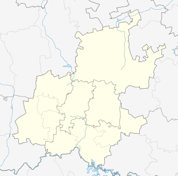
Location within Greater Johannesburg 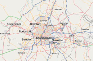 Jan Hofmeyer | |
| Coordinates: 26°11′28″S 28°00′54″E / 26.191°S 28.015°ECoordinates: 26°11′28″S 28°00′54″E / 26.191°S 28.015°E | |
| Country | South Africa |
| Province | Gauteng |
| Municipality | City of Johannesburg |
| Main Place | Johannesburg |
| Area[1] | |
| • Total | 0.97 km2 (0.37 sq mi) |
| Population (2011)[1] | |
| • Total | 2,645 |
| • Density | 2,700/km2 (7,100/sq mi) |
| Racial makeup (2011)[1] | |
| • Black African | 33.6% |
| • Coloured | 33.0% |
| • Indian/Asian | 3.6% |
| • White | 28.4% |
| • Other | 1.3% |
| First languages (2011)[1] | |
| • Afrikaans | 49.5% |
| • English | 26.8% |
| • Tswana | 5.7% |
| • Sotho | 3.8% |
| • Other | 14.3% |
| Postal code (street) | 2092 |
Jan Hofmeyer is a suburb of Johannesburg, South Africa, located in Region F. Originally named after Jan Hendrik Hofmeyr (20 March 1894 – 3 December 1948), a South African politician and intellectual in the years preceding Apartheid.
References
- 1 2 3 4 "Sub Place Jan Hofmeyer". Census 2011.
This article is issued from Wikipedia - version of the 12/15/2013. The text is available under the Creative Commons Attribution/Share Alike but additional terms may apply for the media files.