Jarikaba Airstrip
| Jarikaba Airstrip | |||||||||||
|---|---|---|---|---|---|---|---|---|---|---|---|
| IATA: none – ICAO: SMJA | |||||||||||
| Summary | |||||||||||
| Airport type | Public | ||||||||||
| Operator | Luchtvaartdienst Suriname | ||||||||||
| Serves | Jarikaba | ||||||||||
| Elevation AMSL | 19 ft / 6 m | ||||||||||
| Coordinates | 5°49′35″N 55°20′15″W / 5.82639°N 55.33750°WCoordinates: 5°49′35″N 55°20′15″W / 5.82639°N 55.33750°W | ||||||||||
| Map | |||||||||||
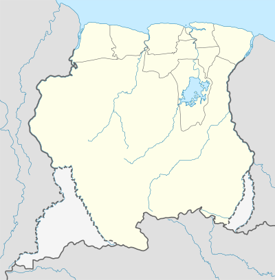 SMJA Location in Suriname | |||||||||||
| Runways | |||||||||||
| |||||||||||
Jarikaba Airstrip (ICAO: SMJA) is an airstrip serving the town of Jarikaba in Suriname. Jarikaba is a western suburb of Paramaribo.
The runway has 350 metres (1,150 ft) of asphalt followed by 260 metres (850 ft) of grass.
See also
 Suriname portal
 Aviation portal
- List of airports in Suriname
- Transport in Suriname
References
External links
This article is issued from Wikipedia - version of the 11/5/2016. The text is available under the Creative Commons Attribution/Share Alike but additional terms may apply for the media files.